
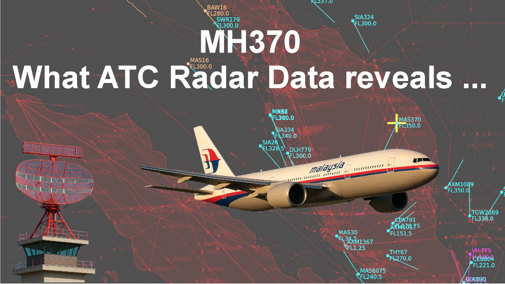
Malaysian air traffic control (ATC) radar recordings (called ATC-Caption-2025) taken on the night of March 8, 2014 (March 7 UTC) have been fully extracted and decoded from their original ASTERIX format and other proprietary format. What it reveals can be found in the…
- Detailed report on the analysis of ATC-Caption-2025
- ATC-Caption-2025 dataset (updated 18/07/2026 ) in several formats with its notice
Video presenting and analysing ATC-Caption-2025
- Video of an overview of traffic in the Western Malaysian airspace (16h40 to 18h30 UTC)
- The MH370 most realistic 4D-path from take-off until 18h22 UTC has been inferred based on ATC-Caption-2025 datasets and Geoscience verified by simulations.
Within radar coverage, the trajectory of flight MH370 is now much better understood thanks to a new in-depth analysis of raw data from Malaysian air traffic control (ATC) radar recordings (called ATC-Caption-2025) taken on the night of March 8, 2014 (March 7 UTC). This analysis is therefore based on raw data from civilian radars, as well as military radar tracking data made available by the Geoscience website.
These recordings contain data from all Malaysian civilian ATC radars, as well as ADS-B data from two sources, ADS-C position reports and additional information on certain flights. There is every reason to believe that this data is authentic and has not been altered after recording.
The Genting ADS-B data now available provides a complete understanding of the trajectory of MH370, from the apron to IGARI. The ADS-B and SSR data received from the aircraft indicate a perfectly nominal flight to waypoint IGARI, followed by a transponder being put on standby which is proven to be a manual operation from the cockpit.
These sources, both civilian and military, demonstrate that, after a deep descent below FL280 followed by a steep climb, flight MH370’s crossing of the Kota Bharu radar cone of silence indicates that the aircraft was likely flying between FL360 and FL385 at that time, then descended slowly to reach FL300 before Penang.
Furthermore, the ADS-B and SSR data allowed for analysis of air traffic around flight MH370, including additional information never previously published. Several other flights crossed the path of flight MH370 or flew in close proximity. No sightings or abnormal situations were reported by these flights. No reports of fire or explosion, no detected control column input, and the transponder’s manual standby make a diversion from inside the aircraft the most likely scenario.
A problem was discovered in the Butterworth radar’s azimuth angle measurement. Once this problem was taken into account, the MH370 flight paths from the Butterworth radar and from the Geoscience dataset closely match.
The new ATC-Caption-2025 dataset, extracted from the raw data, is the most accurate and comprehensive to date, and provides the most precise representation of MH370’s flight path toward the Strait of Malacca.
This confirms our conclusions about the fully piloted reconstructed trajectory documented in our report.